Coastal Engineering
Learn to design with natural forces rather than against them. Study wave mechanics, sediment transport, and erosion control through hands-on structural modeling.
A private educational house for coastal research, engineering, and intelligent ocean monitoring on the Monterey shoreline.
Explore Coastal Research
The Tidal Glass House was founded on a simple conviction: the coast is not a boundary to overcome, but a system to understand. Here, beginners work alongside seasoned engineers to study the dynamic forces—wind, tide, sediment, and time—that define every shoreline.
We teach through direct observation, measured drawing, and patient fieldwork. Our studios open directly onto the bluff, so theory is tested within minutes against the real behavior of the Pacific.
Immersive instruction in the essential disciplines of coastal and marine engineering.
Learn to design with natural forces rather than against them. Study wave mechanics, sediment transport, and erosion control through hands-on structural modeling.
Master photogrammetry, drone surveying, and GIS analysis to document changing coastlines with scientific precision.
Explore the design life of ports, breakwaters, and coastal defense systems built to endure corrosive salt, relentless waves, and rising seas.
Deploy sonar, LIDAR, and robotic systems to map submerged structures and seafloor topography.
Recent student research and field projects from the shoreline and the seafloor.
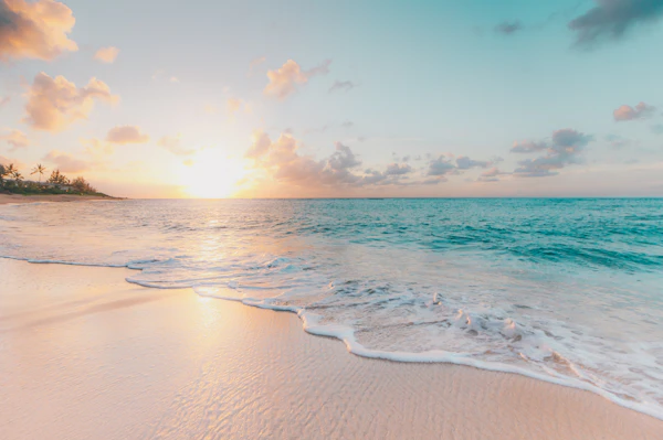
Stabilizing native dune systems with biodegradable fiber matrices and long-term sand accretion tracking.

Structural aging analysis and wave-load modeling for the historic harbor breakwater.

Optical and acoustic mapping of pier pilings and submerged foundations in low-visibility conditions.

A low-cost telemetry array for real-time wave height, temperature, and salinity reporting.

Drone-based photogrammetry campaigns tracking annual cliff retreat and sediment budgets.

Forensic review of seawall reinforcement strategies under combined wave and seismic loading.
Drag to compare pre-restoration erosion with the stabilized shoreline after intervention.

Real-time synthesized tidal oscillation patterns for Monterey Bay.
By appointment, we welcome students, collaborators, and visiting researchers to our bluff-top studio.